Hydrographer
SOC 17-1022.00 · ESCO 3111 · OSCA 311534
Role snapshot
Overview
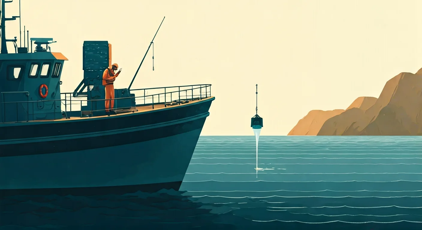
Surveys oceans, rivers, and harbours to measure water depth, tides, and seabed features. Hydrographers collect and analyze geospatial data to produce accurate nautical charts, maps, and datasets used for safe navigation, coastal development, dredging, and environmental management. They ensure maritime safety and support various marine industries.
Ensures the safety and efficiency of marine navigation, supports critical infrastructure projects, and contributes to the sustainable management of aquatic environments.
On the job
- Operate and maintain hydrographic survey equipment, including multibeam echosounders, sonar, and GPS systems.
- Collect, process, and interpret bathymetric data, tidal observations, and other oceanographic information.
- Produce and update nautical charts, electronic navigational charts (ENCs), and digital terrain models of the seabed.
- Conduct quality control and assurance on collected data to meet international and national standards.
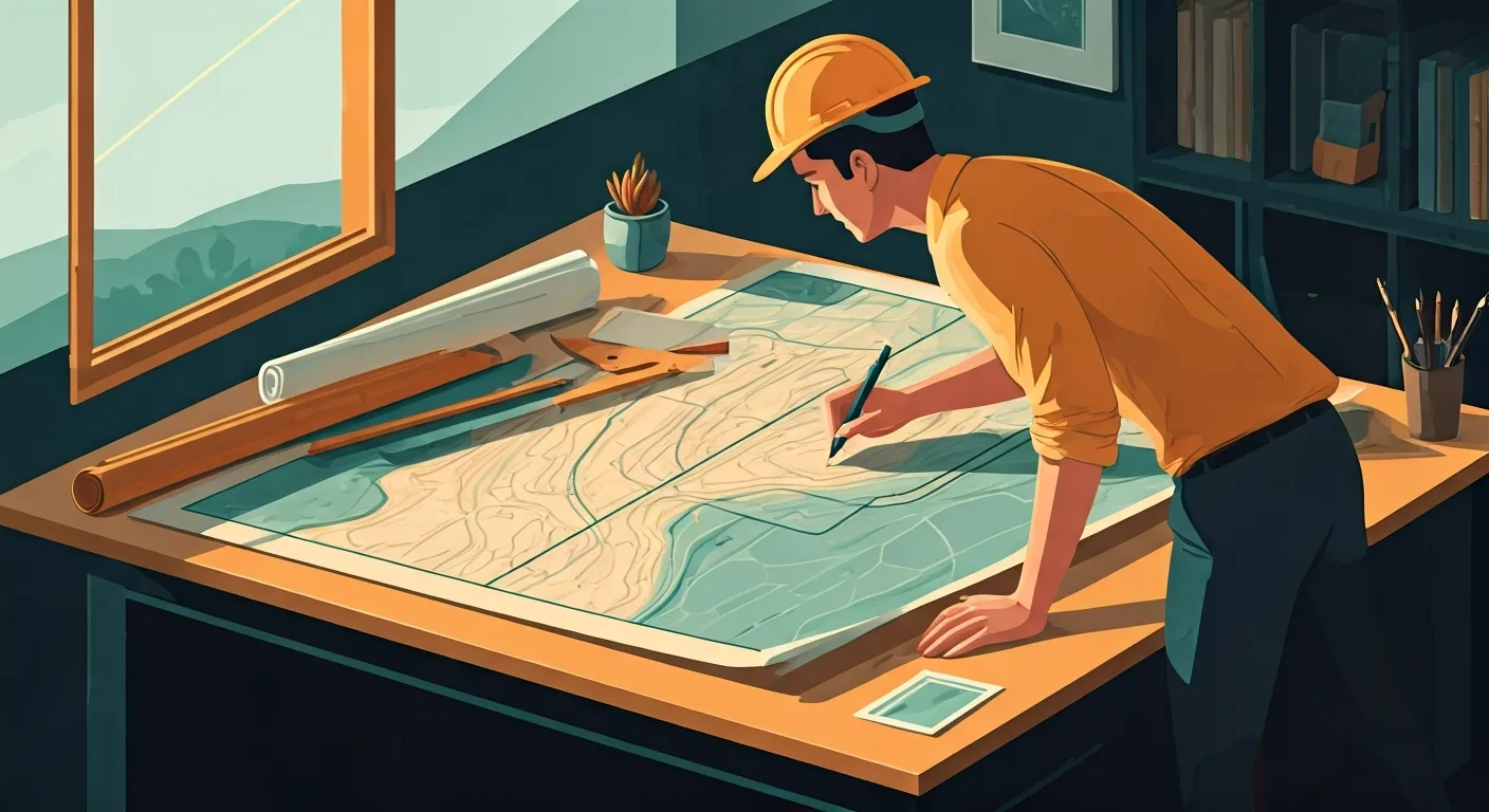
- Prepare detailed reports and presentations on survey findings for clients and regulatory bodies.
Tools & technology
Average salary
Job outlook
StableDemand is steady. This is an established role with consistent hiring across sectors.
Education & training
A bachelor's degree in hydrography, surveying, geomatics, oceanography, or a related engineering field is typically required.
AI impact outlook
Note — this is our current view. AI is moving fast, so we revisit these ratings.
Show how this was assessed Hide the detail
Note — this is our current view. AI is moving fast, so we revisit these ratings.
Show how this was assessed Hide the detailWhy this role received this rating
Core task exposure
high
How much of the role’s important work could AI perform?
Data processing, chart production, and quality control of bathymetric data are highly automatable given structured inputs.
End-to-end automation
moderate
Can AI complete the work without substantial human involvement?
Physical deployment and maintenance of survey equipment, alongside critical interpretation of anomalous data for navigation safety, still require human presence.
Adoption pressure
high
How likely are employers to introduce AI into this work?
Strong economic pressure exists to automate data collection and processing for efficiency, balanced by the critical safety implications of inaccurate nautical charts.
Human dependence
moderate
How much does success depend on human judgement, relationships and accountability?
Interpreting complex seabed features, ensuring data quality for navigation safety, and troubleshooting equipment in challenging marine environments require human judgment.
Protective — a higher rating lowers the overall score.
Role adaptability
strong
How easily can the role evolve as AI takes on more tasks?
The role can adapt by focusing on advanced sensor development, marine spatial planning, and integrated oceanographic data management.
Shown for context — not part of the score.
What AI may take on
These are the parts of the role most likely to be automated or significantly accelerated.
- Processing and interpreting bathymetric data and tidal observations automatically
- Producing and updating nautical charts and digital terrain models of the seabed
- Conducting quality control and assurance on collected data to meet standards
- Operating autonomous hydrographic survey equipment for routine missions
- Generating detailed reports and presentations on survey findings
Where people remain essential
These parts continue to depend heavily on human judgement, relationships and accountability.
- Deploying, maintaining, and troubleshooting specialized hydrographic survey equipment
- Interpreting complex or ambiguous seafloor anomalies that impact navigation
- Ensuring the ultimate accuracy and integrity of data for navigation safety
- Adapting survey strategies to dynamic marine environments and weather conditions
- Collaborating with maritime authorities and other marine industries
- Developing new survey methodologies and sensor technologies
How the role may evolve
Leveraging automated surveys, rather than just raw data capture.
Hydrographers will evolve from hands-on data collection and manual processing to managing autonomous survey systems, validating AI-processed data, and focusing on complex marine spatial interpretation and safety assurance.
Strengthen your future fit
- Expertise in autonomous underwater and surface vehicle (AUV/ASV) operation
- Advanced data analytics and visualization for complex geospatial data
- Knowledge of marine robotics and sensor integration
- Strong problem-solving for equipment malfunction in harsh environments
- Understanding of international hydrographic standards and regulations
- Assessment horizon
- 3–7 years
- Confidence
- Medium
- Last reviewed
- August 2026
- Methodology
- v1.0
This assessment reflects current AI capabilities and expected adoption patterns. Actual impacts will vary by industry, employer and the way each role is performed.
Career pathways
WHERE YOU COULD GO
CURRENT ROLE
Hydrographer
Civil & Structural Engineering
ADJACENT MOVES
STARTING POINTS
Who thrives here
Interest profile
conventional · CRI
People who are analytical, precise, enjoy scientific investigation, and thrive in structured, technical environments, often working with data and equipment, tend to find this role fulfilling.
Personality characteristics
Meticulous
Pays close attention to detail and accuracy, ensuring precise measurements and data integrity.
Analytical
Enjoys investigating complex data sets and solving technical problems to produce reliable information.
Methodical
Prefers following established procedures and protocols to ensure consistency and quality in work.
Independent
Comfortable working autonomously in the field or on data processing tasks with minimal supervision.
Calm under pressure
Maintains composure and focus in challenging field conditions or when troubleshooting equipment issues.
Best for
- Individuals who are precise, technically adept, and enjoy working with advanced geospatial technologies.
- Those who thrive in both outdoor field environments and detailed office-based data analysis.
- People motivated by contributing to public safety and large-scale infrastructure projects.
Watch out for
- Requires frequent travel and extended periods in the field, sometimes in challenging weather conditions.
- The work can be highly technical and demanding, with a strong emphasis on data accuracy and compliance.
A week in the life
A representative working week for a Hydrographer — where the deep work, meetings, and admin actually land.
Real people. Real results.
Thousands of people
can't be wrong.




Frequently asked questions about Hydrographer roles
What does a Hydrographer do?
A Hydrographer surveys oceans, rivers, and harbours to measure water depth, tides, and seabed features. Hydrographers collect and analyze geospatial data to produce accurate nautical charts, maps, and datasets used for safe navigation, coastal development, dredging, and environmental management. They ensure maritime safety and support various marine industries. Ensures the safety and efficiency of marine navigation, supports critical infrastructure projects, and contributes to the sustainable management of aquatic environments.
How much does a Hydrographer earn?
A Hydrographer earns a median of $85,000 per year in the US, typically ranging from $65,000 to $110,000.
What qualifications do you need to become a Hydrographer?
To become a Hydrographer, a bachelor's degree in hydrography, surveying, geomatics, oceanography, or a related engineering field is typically required.
What personality suits a Hydrographer?
Hydrographer roles tend to suit people who are highly conscientious — precise, organised and strong on follow-through (Conscientiousness 83/100) and steady under pressure — deadlines and setbacks do not rattle them easily (Emotional Stability 72/100). The traits that matter most in the role are Meticulous, Analytical, Methodical and Independent. Pays close attention to detail and accuracy, ensuring precise measurements and data integrity. On interests, Hydrographer maps to a CRI Holland Code profile — people who are analytical, precise, enjoy scientific investigation, and thrive in structured, technical environments, often working with data and equipment, tend to find this role fulfilling.
Who does a Hydrographer role suit?
A Hydrographer role is usually a strong fit for these reasons. Strong Conventional and Investigative alignment: the role demands precision, systematic data handling, and scientific problem-solving. Significant portion of time dedicated to deep work, both in the field and office, for data collection and analysis. Requires a high degree of conscientiousness for accurate measurements and adherence to strict hydrographic standards.
What are the downsides of being a Hydrographer?
Hydrographer roles come with trade-offs worth weighing up. Requires frequent travel and extended periods in the field, sometimes in challenging weather conditions. The work can be highly technical and demanding, with a strong emphasis on data accuracy and compliance.
What is the work environment like for a Hydrographer?
Work as a Hydrographer is mostly mixed-based with hybrid arrangements common, semi-structured — a mix of set processes and self-directed work, a moderate pace and medium exposure to clients or stakeholders. Around 78% of the week is focused deep work.
What skills do you need to be a Hydrographer?
Core skills for a Hydrographer include Hydrographic Surveying, Data Processing & Analysis, GIS Mapping, Oceanography Principles, Spatial Data Management and Report Writing.
How do you become a Hydrographer?
Common entry routes into Hydrographer roles include Surveying Technician and Marine Science Assistant.
What career progression is there for a Hydrographer?
From a Hydrographer role, common next steps include Senior Hydrographer and Hydrographic Project Manager; lateral moves include GIS Analyst (Marine).
What is the job outlook for Hydrographer roles?
The outlook for Hydrographer roles is currently rated stable. Demand is steady. This is an established role with consistent hiring across sectors.
Will AI replace Hydrographer roles?
Traitstack rates automation risk for Hydrographer roles at 69 out of 100, which is strong. Interpreting complex seabed features and ensuring navigation safety will remain human-led, as AI streamlines raw data processing and chart generation. AI is most likely to take on processing and interpreting bathymetric data and tidal observations automatically, producing and updating nautical charts and digital terrain models of the seabed and conducting quality control and assurance on collected data to meet standards. Deploying, maintaining, and troubleshooting specialized hydrographic survey equipment, interpreting complex or ambiguous seafloor anomalies that impact navigation and ensuring the ultimate accuracy and integrity of data for navigation safety stay with people. Leveraging automated surveys, rather than just raw data capture. That score measures how much of the work could change, not the likelihood the job disappears. It is Traitstack's current view, revisited as AI capability moves.