Cartographer
SOC 17-1021.00 · ESCO 2165 · OSCA 241231
Role snapshot
Overview
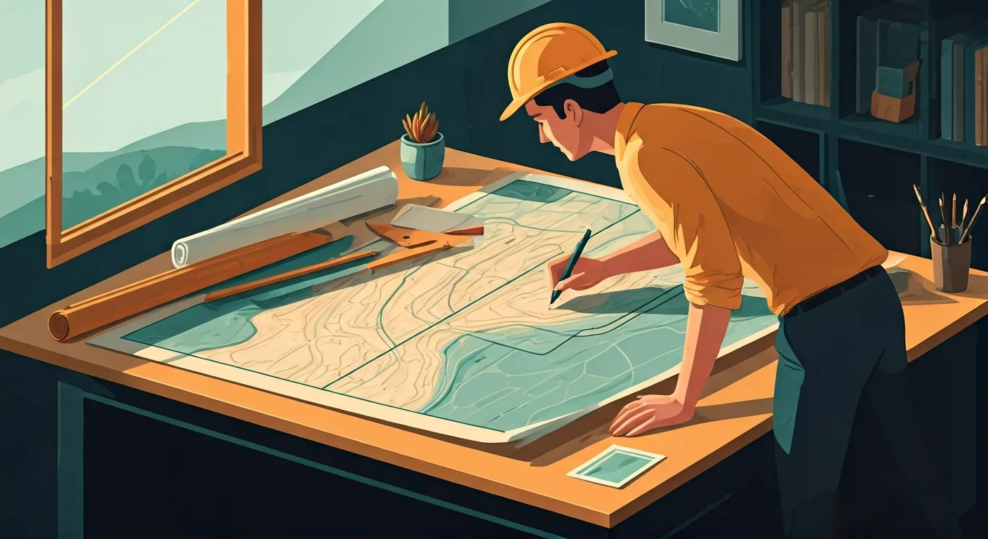
Creates detailed maps and geographic visualisations using GIS software, aerial imagery, and survey data. Analyses spatial datasets, designs map layouts for print and digital use, and ensures geographic accuracy for planners, engineers, and the public. Cartographers play a crucial role in representing complex geographical information in an understandable and accessible format for various applications.
Provides critical spatial intelligence that informs urban planning, environmental management, infrastructure development, and resource allocation, enabling better decision-making and public understanding of geographic data.
On the job
- Collect, analyse, and interpret spatial data from sources like satellite imagery, aerial photos, and surveys.
- Design and produce thematic, topographic, and digital maps using GIS software and cartographic principles.
- Develop and manage geospatial databases, ensuring data integrity and accuracy.
- Customize GIS applications and tools to meet specific project requirements.
- Collaborate with engineers, urban planners, environmental scientists, and other stakeholders to understand mapping needs.
Tools & technology
Average salary
Job outlook
GrowingJob growth is expected to be above average over the next five years.
Education & training
Bachelor's degree in Cartography, Geography, Geomatics, or a related field. Some roles may require a master's degree or specialized GIS certifications.
AI impact outlook
Note — this is our current view. AI is moving fast, so we revisit these ratings.
Show how this was assessed Hide the detail
Note — this is our current view. AI is moving fast, so we revisit these ratings.
Show how this was assessed Hide the detailWhy this role received this rating
Core task exposure
high
How much of the role’s important work could AI perform?
Data collection from imagery, processing, database management, and even map layout design are highly amenable to AI automation and enhancement.
End-to-end automation
moderate
Can AI complete the work without substantial human involvement?
AI can generate maps and perform spatial analyses from data, but interpreting complex user needs, validating nuanced data, and strategic communication still require human judgment.
Adoption pressure
high
How likely are employers to introduce AI into this work?
Organizations will rapidly adopt AI for map generation and data processing, driven by the need for efficiency, speed, and consistency in handling large geospatial datasets.
Human dependence
moderate
How much does success depend on human judgement, relationships and accountability?
While technical production is exposed, the human judgment in selecting appropriate visual representations, ensuring data integrity, and collaborating with stakeholders on specific needs is crucial.
Protective — a higher rating lowers the overall score.
Role adaptability
strong
How easily can the role evolve as AI takes on more tasks?
Cartographers are highly technical and routinely adopt new software and data sources, indicating a strong capacity to integrate AI tools for enhanced map generation and analysis.
Shown for context — not part of the score.
What AI may take on
These are the parts of the role most likely to be automated or significantly accelerated.
- Collecting and interpreting spatial data from satellite imagery
- Designing and producing thematic and topographic maps
- Developing and managing geospatial databases for accuracy
- Customizing GIS applications for specific project parameters
- Performing routine spatial analysis tasks
Where people remain essential
These parts continue to depend heavily on human judgement, relationships and accountability.
- Understanding and translating complex stakeholder mapping needs
- Exercising cartographic judgment for effective visual communication
- Ensuring the ethical and unbiased representation of spatial data
- Collaborating with urban planners and engineers on project goals
- Validating the accuracy and integrity of AI-processed data
- Developing innovative cartographic solutions for novel problems
How the role may evolve
Shifting from map production to strategic spatial data interpretation.
Cartographers will move beyond manual map creation, focusing instead on leveraging AI for data synthesis and visualization, and becoming strategic advisors on spatial information and its communication.
Strengthen your future fit
- Mastering AI-driven geospatial analysis and visualization tools
- Enhancing data storytelling and communication skills
- Developing expertise in ethical AI use for mapping
- Strengthening interdisciplinary collaboration with data scientists
- Focus on high-level strategic interpretation of spatial patterns
- Assessment horizon
- 3–7 years
- Confidence
- Medium
- Last reviewed
- August 2026
- Methodology
- v1.0
This assessment reflects current AI capabilities and expected adoption patterns. Actual impacts will vary by industry, employer and the way each role is performed.
Career pathways
WHERE YOU COULD GO
CURRENT ROLE
Cartographer
Architecture & Spatial Design
ADJACENT MOVES
STARTING POINTS
Who thrives here
Interest profile
conventional · CIR
Individuals who enjoy detailed data analysis, systematic organization of information, and the practical application of technology to create accurate visual representations of geographical space tend to find this role rewarding.
Personality characteristics
Detail-oriented
Possesses a strong focus on accuracy and precision, essential for creating reliable maps and managing complex datasets.
Analytical
Enjoys investigating and interpreting complex spatial data to uncover patterns and relationships.
Methodical
Prefers systematic approaches to data collection, processing, and cartographic production, ensuring consistency and quality.
Tech-savvy
Comfortable working with specialized software, tools, and technologies to solve practical geospatial problems.
Curious
Open to exploring new mapping techniques, data sources, and software advancements to improve outputs.
Composed
Maintains a calm and steady approach when dealing with complex data challenges or tight deadlines.
Best for
- People who enjoy transforming raw geographical data into meaningful and visually compelling maps.
- Individuals who are precise, analytical, and enjoy working with advanced geospatial technologies.
- Professionals who value contributing to informed decision-making through accurate spatial intelligence.
Watch out for
- Requires strong individual focus and less frequent social interaction compared to highly collaborative roles.
- The work can be highly technical and requires continuous learning of new software and data analysis methods.
A week in the life
A representative working week for a Cartographer — where the deep work, meetings, and admin actually land.
Real people. Real results.
Thousands of people
can't be wrong.

Frequently asked questions about Cartographer roles
What does a Cartographer do?
A Cartographer creates detailed maps and geographic visualisations using GIS software, aerial imagery, and survey data. Analyses spatial datasets, designs map layouts for print and digital use, and ensures geographic accuracy for planners, engineers, and the public. Cartographers play a crucial role in representing complex geographical information in an understandable and accessible format for various applications. Provides critical spatial intelligence that informs urban planning, environmental management, infrastructure development, and resource allocation, enabling better decision-making and public understanding of geographic data.
How much does a Cartographer earn?
A Cartographer earns a median of $75,000 per year in the US, typically ranging from $60,000 to $95,000.
What qualifications do you need to become a Cartographer?
To become a Cartographer, bachelor's degree in Cartography, Geography, Geomatics, or a related field. Some roles may require a master's degree or specialized GIS certifications.
What personality suits a Cartographer?
Cartographer roles tend to suit people who are highly conscientious — precise, organised and strong on follow-through (Conscientiousness 85/100) and steady under pressure — deadlines and setbacks do not rattle them easily (Emotional Stability 72/100). The traits that matter most in the role are Detail-oriented, Analytical, Methodical and Tech-savvy. Possesses a strong focus on accuracy and precision, essential for creating reliable maps and managing complex datasets. On interests, Cartographer maps to a CIR Holland Code profile — individuals who enjoy detailed data analysis, systematic organization of information, and the practical application of technology to create accurate visual representations of geographical space tend to find this role rewarding.
Who does a Cartographer role suit?
A Cartographer role is usually a strong fit for these reasons. The role heavily involves investigative and conventional tasks, aligning with an affinity for detailed analysis and structured data work. A significant portion of the week is dedicated to deep work, ideal for individuals who thrive on focused, technical tasks. Requires high conscientiousness for accuracy and methodical problem-solving in complex geospatial projects.
What are the downsides of being a Cartographer?
Cartographer roles come with trade-offs worth weighing up. Requires strong individual focus and less frequent social interaction compared to highly collaborative roles. The work can be highly technical and requires continuous learning of new software and data analysis methods.
What is the work environment like for a Cartographer?
Work as a Cartographer is mostly office-based with hybrid arrangements common, semi-structured — a mix of set processes and self-directed work, a moderate pace and medium exposure to clients or stakeholders. Around 75% of the week is focused deep work.
What skills do you need to be a Cartographer?
Core skills for a Cartographer include Geographic Information Systems (GIS), Spatial data analysis, Cartographic design, Remote sensing and Geospatial database management.
How do you become a Cartographer?
Common entry routes into Cartographer roles include Gis Technician, Junior Cartographer and Geospatial Analyst Intern.
What career progression is there for a Cartographer?
From a Cartographer role, common next steps include Senior Cartographer and GIS Manager; lateral moves include Geospatial Data Scientist.
What is the job outlook for Cartographer roles?
The outlook for Cartographer roles is currently rated growing. Job growth is expected to be above average over the next five years.
Will AI replace Cartographer roles?
Traitstack rates automation risk for Cartographer roles at 72 out of 100, which is strong. AI will increasingly automate the production of maps and spatial data analysis, enabling cartographers to focus on complex data interpretation and strategic communication of geographic insights. AI is most likely to take on collecting and interpreting spatial data from satellite imagery, designing and producing thematic and topographic maps and developing and managing geospatial databases for accuracy. Understanding and translating complex stakeholder mapping needs, exercising cartographic judgment for effective visual communication and ensuring the ethical and unbiased representation of spatial data stay with people. Shifting from map production to strategic spatial data interpretation. That score measures how much of the work could change, not the likelihood the job disappears. It is Traitstack's current view, revisited as AI capability moves.