Geographer
SOC 19-3092.00 · ESCO 2632
Role snapshot
Overview
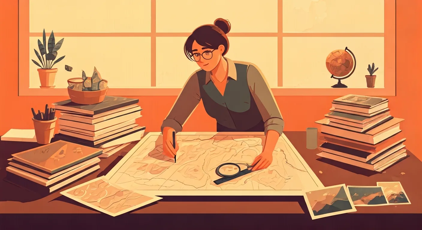
Studies the physical and human characteristics of places, from landforms and climate to population patterns and resource use. Analyses spatial data, creates maps, and publishes findings that inform planning and policy. Geographers apply scientific methods to understand the Earth's surface, human societies, and the interactions between them, contributing to urban planning, environmental management, and resource allocation.
Provides critical insights into environmental change, urban development, resource distribution, and social patterns, enabling informed decision-making for sustainable development and effective policy.
On the job
- Collect and analyze geographic data using GIS, remote sensing, and statistical methods
- Create and update maps, charts, and diagrams to visualize spatial information
- Conduct field surveys and research to gather primary geographic data
- Interpret satellite imagery and aerial photographs to identify land use patterns and environmental changes
- Prepare reports and presentations on geographic findings for various stakeholders
Tools & technology
Average salary
Job outlook
GrowingJob growth is expected to be above average over the next five years.
Education & training
A bachelor's or master's degree in geography, geographic information science (GIS), environmental science, or a related field is typically required.
AI impact outlook
Note — this is our current view. AI is moving fast, so we revisit these ratings.
Show how this was assessed Hide the detail
Note — this is our current view. AI is moving fast, so we revisit these ratings.
Show how this was assessed Hide the detailWhy this role received this rating
Core task exposure
high
How much of the role’s important work could AI perform?
The collection and analysis of geographic data using GIS and remote sensing, along with map creation, are highly exposed to AI.
End-to-end automation
moderate
Can AI complete the work without substantial human involvement?
While GIS tasks can be automated, field surveys in complex environments and advising on policy for nuanced spatial relationships require human judgment.
Adoption pressure
high
How likely are employers to introduce AI into this work?
Industries reliant on spatial data (e.g., urban planning, logistics) are rapidly adopting AI and advanced GIS tools for efficiency and analysis.
Human dependence
strong
How much does success depend on human judgement, relationships and accountability?
Success requires understanding complex human-environment interactions, developing innovative solutions for urban and environmental challenges, and communicating findings to diverse stakeholders.
Protective — a higher rating lowers the overall score.
Role adaptability
strong
How easily can the role evolve as AI takes on more tasks?
Geography is inherently interdisciplinary and dynamic, requiring continuous adaptation to new data sources, analytical techniques, and global challenges.
Shown for context — not part of the score.
What AI may take on
These are the parts of the role most likely to be automated or significantly accelerated.
- Collect and analyze geographic data using GIS and remote sensing
- Create and update maps, charts, and diagrams
- Interpret satellite imagery and aerial photographs
- Process and visualize spatial information for various reports
- Assist in preparing reports and presentations on geographic findings
Where people remain essential
These parts continue to depend heavily on human judgement, relationships and accountability.
- Conducting nuanced field surveys in unstructured environments
- Developing spatial theories to explain complex human-environment dynamics
- Advising stakeholders on urban planning and environmental management policies
- Designing innovative solutions for sustainable resource use
- Engaging with communities to understand local geographic needs
- Interpreting cultural and social dimensions of spatial data
How the role may evolve
Map production accelerates. Insightful spatial analysis deepens.
Geographers will leverage AI for efficient data processing and visualization, allowing them to focus more deeply on complex problem-solving, theoretical development, and strategic spatial planning.
Strengthen your future fit
- Enhance expertise in advanced spatial modeling and analytics
- Develop strong communication and data storytelling skills
- Master interdisciplinary approaches to environmental and urban issues
- Focus on ethical considerations in data collection and use
- Gain proficiency in participatory GIS and community engagement
- Assessment horizon
- 3–7 years
- Confidence
- High
- Last reviewed
- August 2026
- Methodology
- v1.0
This assessment reflects current AI capabilities and expected adoption patterns. Actual impacts will vary by industry, employer and the way each role is performed.
Career pathways
WHERE YOU COULD GO
CURRENT ROLE
Geographer
Research & Academia
ADJACENT MOVES
STARTING POINTS
Who thrives here
Interest profile
investigative · IRA
Individuals who enjoy systematic investigation, detailed analysis of data, and expressing findings through creative visual formats like maps, often find this role highly engaging.
Personality characteristics
Curious
Genuinely interested in exploring complex spatial phenomena and uncovering hidden patterns in data.
Methodical
Applies systematic approaches to data collection, analysis, and mapping to ensure accuracy and reliability.
Investigative
Driven by a desire to understand the 'why' behind geographical distributions and processes, often involving in-depth research.
Collaborative
Works effectively with colleagues and stakeholders to integrate diverse perspectives and communicate findings clearly.
Steady
Maintains composure when dealing with complex data sets, technical challenges, or unexpected field conditions.
Best for
- Individuals passionate about understanding the Earth's systems and human-environment interactions.
- Those who enjoy working with technology to solve real-world problems through spatial analysis.
- People who thrive on both rigorous scientific inquiry and clear visual communication.
Watch out for
- Requires patience for meticulous data collection and validation processes.
- Can involve extended periods of independent work, which might not suit highly social individuals.
- Field work can sometimes be physically demanding or require travel to remote locations.
A week in the life
A representative working week for a Geographer — where the deep work, meetings, and admin actually land.
Real people. Real results.
Thousands of people
can't be wrong.


Frequently asked questions about Geographer roles
What does a Geographer do?
A Geographer studies the physical and human characteristics of places, from landforms and climate to population patterns and resource use. Analyses spatial data, creates maps, and publishes findings that inform planning and policy. Geographers apply scientific methods to understand the Earth's surface, human societies, and the interactions between them, contributing to urban planning, environmental management, and resource allocation. Provides critical insights into environmental change, urban development, resource distribution, and social patterns, enabling informed decision-making for sustainable development and effective policy.
How much does a Geographer earn?
A Geographer earns a median of $85,000 per year in the US, typically ranging from $60,000 to $120,000.
What qualifications do you need to become a Geographer?
To become a Geographer, a bachelor's or master's degree in geography, geographic information science (GIS), environmental science, or a related field is typically required.
What personality suits a Geographer?
Geographer roles tend to suit people who are open and curious — drawn to variety, ideas and new approaches (Openness 88/100) and highly conscientious — precise, organised and strong on follow-through (Conscientiousness 75/100). The traits that matter most in the role are Curious, Methodical, Investigative and Collaborative. Genuinely interested in exploring complex spatial phenomena and uncovering hidden patterns in data. On interests, Geographer maps to an IRA Holland Code profile — individuals who enjoy systematic investigation, detailed analysis of data, and expressing findings through creative visual formats like maps, often find this role highly engaging.
Who does a Geographer role suit?
A Geographer role is usually a strong fit for these reasons. Strong Investigative and Realistic interests, aligning with systematic data analysis, field work, and problem-solving. High openness to experience supports continuous learning and adaptation to new geospatial technologies. The role involves a significant amount of deep work, suitable for those who enjoy focused, analytical tasks.
What are the downsides of being a Geographer?
Geographer roles come with trade-offs worth weighing up. Requires patience for meticulous data collection and validation processes. Can involve extended periods of independent work, which might not suit highly social individuals. Field work can sometimes be physically demanding or require travel to remote locations.
What is the work environment like for a Geographer?
Work as a Geographer is mostly mixed-based with hybrid arrangements common, semi-structured — a mix of set processes and self-directed work, a moderate pace and medium exposure to clients or stakeholders. Around 60% of the week is focused deep work.
What skills do you need to be a Geographer?
Core skills for a Geographer include Spatial analysis, Cartography and mapping, Geographic Information Systems (GIS), Remote sensing, Data interpretation and visualization and Field research methods.
How do you become a Geographer?
Common entry routes into Geographer roles include Junior Geographer, Gis Technician and Research Assistant.
What career progression is there for a Geographer?
From a Geographer role, common next steps include Senior Geographer and GIS Manager; lateral moves include Environmental Consultant.
What is the job outlook for Geographer roles?
The outlook for Geographer roles is currently rated growing. Job growth is expected to be above average over the next five years.
Will AI replace Geographer roles?
Traitstack rates automation risk for Geographer roles at 63 out of 100, which is strong. Spatial data processing and map generation are increasingly automated, reserving human geographers for complex field surveys and insightful interpretation of human-environment interactions. AI is most likely to take on collect and analyze geographic data using gis and remote sensing, create and update maps, charts, and diagrams and interpret satellite imagery and aerial photographs. Conducting nuanced field surveys in unstructured environments, developing spatial theories to explain complex human-environment dynamics and advising stakeholders on urban planning and environmental management policies stay with people. Map production accelerates. Insightful spatial analysis deepens. That score measures how much of the work could change, not the likelihood the job disappears. It is Traitstack's current view, revisited as AI capability moves.